


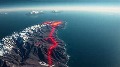
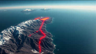
Beneath the towering peaks of the Alaska Range, home to Denali, North America’s tallest mountain, scientists have uncovered a hidden geological feature that had gone completely unnoticed until now. Using a machine learning system to sift through years of seismic data, researchers built an expanded earthquake catalogue for the region and, within it, identified a distinct cluster of roughly 1,750 small, previously undetected earthquakes arranged in an almost perfectly straight line, stretching 250 kilometres from northwest to southeast beneath south central Alaska. That razor sharp line traces the precise edge of the Yakutat microplate, a thick slab of oceanic crust wedged into an already congested collision zone where the Pacific and North American plates meet. The discovery gives scientists their clearest picture yet of a plate boundary long suspected to exist but never mapped in this kind of detail, and it may help explain what triggered one of Alaska’s most powerful earthquakes in recent history.
Why the collision between the Pacific plate, the Yakutat microplate and the Denali fault made this region so hard to map
South central Alaska sits at the centre of what researchers describe as a genuine tectonic traffic jam, a location where multiple large geological features converge and compete for space beneath the surface. The Pacific plate is actively subducting beneath the North American plate in this region, while the Yakutat oceanic plateau, an unusually thick slab of crust caught up in the same collision, is being dragged along and forced beneath the continent as well. Layered on top of that crowded subduction zone runs the Denali fault, the major continental fault system responsible for the magnitude 7.9 earthquake that struck the Alaskan interior in 2002, the strongest ever recorded there. To map the region in finer detail, a research team led by seismologist Meghan Miller of the Australian National University drew on data collected from permanent seismic stations alongside a temporary array the team deployed across the region between 2018 and 2021, then built a machine learning workflow capable of surfacing earthquakes too small and subtle to appear in existing catalogues.
What the newly mapped fault line revealed about the plate’s true shape and Alaska’s volcanic gap
The resultig picture was strikingly precise. According to a statement released by the Seismological Society of America, the machine learning process revealed a linear cluster of roughly 1,750 small earthquakes tracing the exact edge of the subducted Yakutat microplate and marking the point where the slab’s internal structure shifts to reflect changing stress in the region. According to the study itself, titled Razor-Sharp Edge, the Yakutat Slab Dissecting South-Central Alaska and published in the journal The Seismic Record, this newly defined edge extends the known reach of the Yakutat plate much further beneath the continent than earlier studies had shown, placing it directly beneath the curved section of the Denali fault. The line of earthquakes also aligned closely with a series of small volcanic cones and changes in underlying rock type, and the researchers found this section of the plate boundary lacks an intervening mantle wedge, the layer of partially molten rock typically responsible for feeding volcanic activity above a subduction zone, offering a structural explanation for the long puzzling absence of active volcanoes along this stretch of the fault, known as the Denali volcanic gap.
How this hidden edge may connect to the 2002 Denali earthquake
Perhaps the most striking implication involves the 2002 Denali earthquake itself. The research team proposes that the newly mapped edge of the Yakutat microplate, positioned directly beneath the curved section of the fault, may have influenced where that earthquake actually began. According to Miller, the plate’s location aligns closely with the initiation point of the 2002 rupture, raising the possibility that stress generated by the ongoing collision between the Yakutat plate and the North American plate propagated upward and helped trigger the quake along a nearby section of the Denali fault. Confirming that connection more definitively, Miller has noted, will require further computational modelling work building on this newly detailed structural picture, since the current findings establish a compelling spatial alignment rather than direct proof of cause and effect.
Why this discovery could change how scientists assess earthquake risk elsewhere
Beyond explaining past seismic activity, the discovery gives scientists a far more detailed map to work from when assessing how future earthquakes might behave in this densely layered tectonic region. Because the study demonstrates that a targeted cluster of small, previously invisible earthquakes can reveal structural boundaries missed by decades of conventional monitoring, researchers say the same machine learning approach could be applied to other complex fault systems worldwide where multiple tectonic features overlap in similarly complicated ways. For a region already known to produce some of North America’s largest earthquakes, a clearer picture of what lies hidden beneath the surface offers scientists a stronger foundation for understanding not just how Alaska’s landscape formed, but where its next major seismic event might originate.