


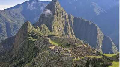
Archaeologists have discovered at least 2.5 kilometres of previously hidden pre-Hispanic roads near Machu Picchu by using lasers to look beneath the dense vegetation covering the landscape. The discovery was made around the Mandor Wall, east of the famous Inca citadel, during a preliminary archaeological survey in July 2026. Instead of clearing vegetation or disturbing the ground, researchers used pulses of laser light to build detailed information about the surface. According to the Directorate of Culture of Cusco(DCC), the work identified a principal trail measuring at least 1.2 kilometres. As reported by Andina (Peru’s state-owned national news agency), part of the route has a distinctive zigzag design consistent with Inca construction. The finding has now opened a new chapter in efforts to understand how people moved through the wider Machu Picchu landscape and its surroundings.
Discovering ancient hidden roads in Machu Picchu using lasers
The discovery came from LiDAR, a remote-sensing technology that uses pulses of laser light to gather information about the ground. At Machu Picchu, this approach was particularly useful because the archaeological park contains areas that are difficult to reach and heavily covered by vegetation. According to Andina, archaeologist ‘Nino del Solar Velarde’ explained that the laser pulses can provide information about the surface even when dense vegetation makes archaeological features difficult to see. The returning signals are used to create a detailed 3D-model, allowing researchers to identify features that might otherwise remain hidden. The method meant that the researchers did not have to clear large areas of vegetation before identifying possible routes. Instead, the landscape could first be examined digitally, helping specialists decide where further archaeological work should take place.
Exact Location of these hidden pathways
The newly detected trails are located around the Mandor Wall, east of the Machu Picchu llaqta within the Machu Picchu Archaeological Park. The DCC reported that preliminary archaeological reconnaissance carried out in July 2026 identified at least 2.5 kilometres of pre-Hispanic paths in the area. The work also revealed possible platforms and terraces that could be connected with the routes. The Mandor Wall was already known to researchers, but the newly detected network provides fresh evidence about the spaces surrounding it. Andina reported that the trails appear to connect different parts of the area with the wall itself, offering clues about how movement through this part of the landscape may have been organised.

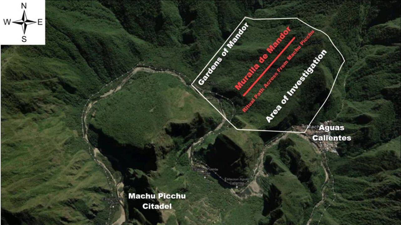
The principal route shows characteristics compatible with Inca construction. Image Credit: andina
What makes the 1.2-km trail more significant than the whole 2.5-km stretch
Not every section identified by LiDAR can yet be confirmed as an Inca road. But specialists from the University of Warsaw and the DCC consider at least 1.2 kilometres of the detected trails to have layouts and characteristics consistent with Inca-era construction techniques. The one feature that particularly caught the attention of researchers is a ‘zigzag route.’ This zigzag form is significant because it provides a visible clue about how the route was designed to work with the challenging terrain. Rather than assuming that every line detected by the laser represents an ancient road, researchers are taking a more cautious approach and will investigate the evidence in the field.
What else did the laser scan reveal about Machu Picchu
The roads were not the only possible archaeological features detected during the survey. The researchers also identified possible platforms, terraces and enclosures in parts of the area. However, these features have not yet been fully interpreted. Andina reported that further archaeological fieldwork is needed to determine their exact use, function, age and state of preservation. That distinction is important because the LiDAR survey represents the first stage of the investigation rather than the final confirmation of every feature. The digital survey has effectively provided researchers with a map of areas that deserve closer attention.
Who carried out the research
The discovery resulted from scientific cooperation between the Directorate of Culture of Cusco(DCC) and the Centre for Andean Studies at the University of Warsaw. DCC said the cooperation formed part of an institutional agreement supporting research and conservation work at Machu Picchu. Andina reported that the specialist team included Dr Jan Klaput of the University of Warsaw, Dr Bartlomiej Cmielewski of Wroclaw University of Science and Technology, archaeologist Jeff Rocky Contreras Soto of Apu Space and Dr Pawel Dabek of Wroclaw University of Environmental and Life Sciences. Nino del Solar Velarde, who leads the Machu Picchu Archaeological Research Coordination Office, also provided technical information about the discovery.
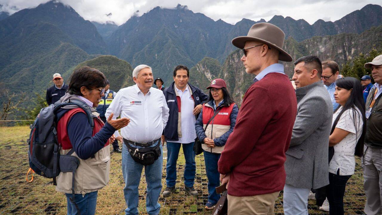
Minister of Culture inspects the Machu Picchu citadel and announces a boost to research into new pre-Hispanic roads. Image Credit: Ministry of Culture, Peru
Next step in this archeological mission
The newly mapped routes will now need to be examined directly on the ground. Researchers will determine their characteristics, chronology, function and condition while also considering how the evidence should be protected. The DCC reported that Peru’s Minister of Culture, Alberto Beingolea, was informed about the discovery during a technical inspection of Machu Picchu. He subsequently announced support for continuing the archaeological investigations connected with the project.For researchers, the discovery is more than the addition of 2.5 kilometres to a map. The trails could help reveal how different parts of the landscape around Machu Picchu were connected and used. As Andina reported, the new evidence expands understanding of the site’s pre-Hispanic occupation and raises questions about the role of the Mandor area in the organisation of movement and the wider cultural landscape. The forest around Machu Picchu may therefore still contain more clues that cannot easily be seen from the ground. LiDAR has given archaeologists a way to find some of them without first disturbing the landscape, turning a dense stretch of vegetation into a detailed map of possible ancient activity.